It’s been a long time since we’ve seen any rain, but a pattern change should finally bring some relief.
The next couple of days will be very similar to today. Temperatures will be warm and humid, and we’ll see clouds rolling-in from the south, especially in the early morning hours.
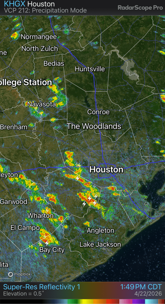
Wednesday going into Thursday will feature our first shot of rain. Nothing too heavy is expected, but anything is welcome.
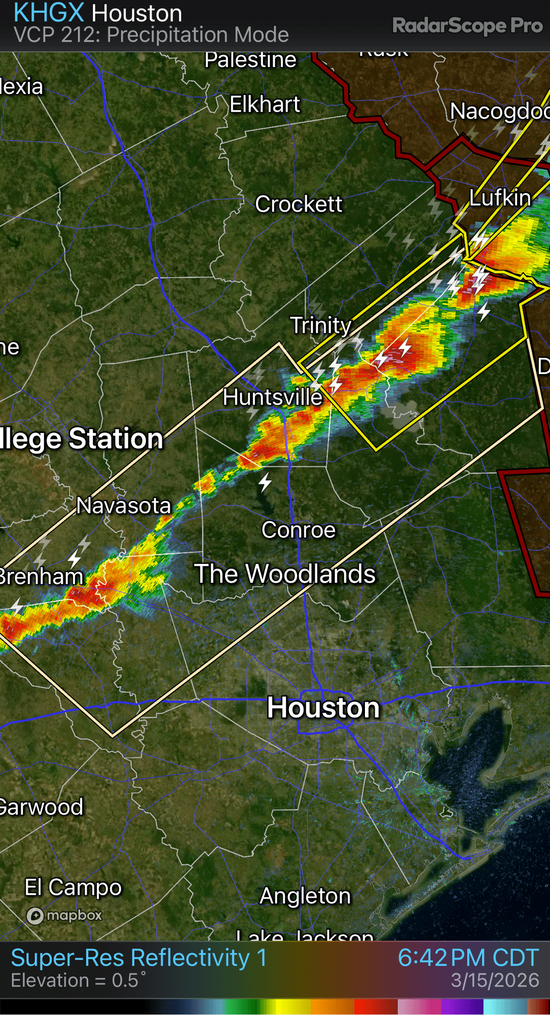
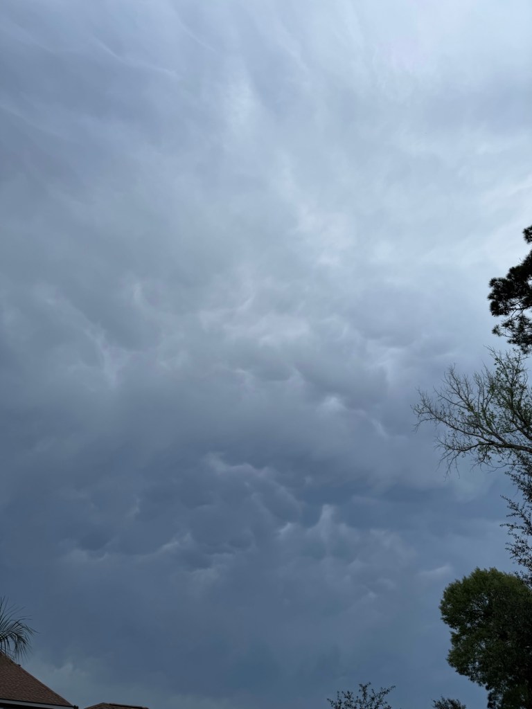
By Saturday evening, a cold front will approach and then pass through Saturday night. This will bring another chance of rain to the area. It’s too early to specify the exact timing of the rain and rainfall amounts, but expect a decent chance of some storms along the front Saturday evening and then some post-frontal showers overnight into Sunday morning.
The rain should move-out on Easter Sunday leaving us with a cool, breezy day behind the front. Easter morning plans could be tricky for outdoor pictures so keep an eye on the forecast as the details become clear.
After that, we may have some more opportunities for beneficial rainfall but the heaviest activity could stay up north towards DFW. We have plenty of time to see how next week plays out but hopefully we can start to break away from the ongoing drought.
Jason Schlitz